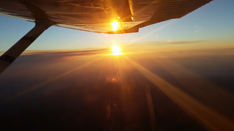
Over the course of the past 26 years, Terrasaurus has been capturing high quality georeferenced aerial imagery for a variety of applications, such as urban, coastal, environmental, research, and forestry. We have captured over 2,000,000 air photos and logged more than 11,000 flight hours air photo survey experience.
The key individuals of Terrasaurus include: Jamie Heath (President), Chuck Rebstein (Commercial Pilot), Jonathon (Commercial Pilot), Dave (Commercial Pilot), and Zenon (Orthophoto production).
We offer a full range of aerial survey services including: aerial photo acquisition (vertical and oblique), aircraft charter (for aerial survey), aerial orthophotos, aerial triangulation, DEM extraction, and GPS ground surveys. For further inquiries, please feel free to contact us by email or phone.

